Where to photograph Pakistan: mountains, deserts, and Mughal light
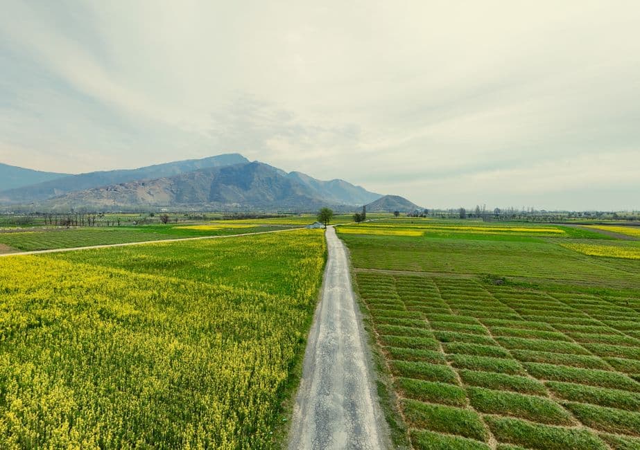
From Mughal skylines to Karakoram giants, Pakistan rewards photographers who plan around light and season as much as location. Here's where to point your camera and when.
Where to catch the Karakoram at its best?
Eagle's Nest at Duikar, Hunza (20 minutes by jeep above Karimabad) is a dawn spot — first light hits Rakaposhi (7,788m) over Karimabad village, and October adds autumn colour to the foreground. For jagged drama, the Passu Cones are best from the KKH viewpoint 4 km north of Passu village, near the Husaini Bridge approach, showing the peaks above upper Hunza valley. Across the Karakoram generally, May (minimum snow) and October (peak autumn colour, longest mountain shadows) are the two prime windows — avoid June–August in the plains due to heat and haze.
Is Nanga Parbat worth the trek?
Fairy Meadows, at 3,300m, gives direct views of Nanga Parbat (8,126m). Reach it via the Raikot Bridge jeep stand on the KKH between Chilas and Gilgit — a 12 km jeep track followed by a 4 km uphill walk. The route is open roughly mid-May to mid-October, weather-dependent, so confirm conditions with local guides. Wooden alpine huts here run PKR 4,000–8,000/night, and a 2-hour onward hike to Beyal Camp puts you directly under the north face.
What about the ultimate high-altitude shot — K2?
The classic K2 panorama is from a small rise 200m southeast of Concordia camp on the Baltoro Glacier, where K2 shares the frame with Broad Peak and Gasherbrum IV. This requires proper trekking permits, fitness, and separate logistical arrangements — not a casual add-on.
Where to shoot Lahore's Mughal heritage?
Badshahi Mosque, photographed from the Hazuri Bagh, gives a symmetrical red-sandstone facade — shoot at 8:00 a.m. or 4:30 p.m. before sunset. November–February is the best season overall for Lahore and the Mughal cities, when haze is thinnest, gardens are greenest, and morning light on the mosque between 7:30–9:00 a.m. is unmatched.
Any desert or capital-city viewpoints?
Derawar Fort in the Cholistan Desert is a square-walled brick fort — approach from the southwest at sunrise for the best shadow definition, or shoot late afternoon for the best red glow on the brickwork. In Islamabad, Daman-e-Koh (elevation ~609m) offers panoramas over the city, Faisal Mosque, and Rawal Lake; early morning (7–9 AM) gives the clearest views and fewest visitors, while October–February sunsets bring the clearest skies as city lights come on. It's open 7 AM–10 PM daily with a nominal vehicle charge (managed by CDA/Islamabad Wildlife Management Board — verify before visiting, especially holidays). Nearby, Margalla Hills National Park's trails add autumn (Sept–Nov) views over Islamabad in mild, clear conditions.
FAQ
Can I fly a drone at these spots? Foreign nationals need an NOC from the PCAA and Ministry of Defence for any drone use, and drones are banned near military sites, airports, the Line of Control, and many heritage sites — verify current rules directly before planning any aerial shots.
When's the single best season to visit for photography? It depends on region: October–February for Lahore and Islamabad, May or October for the Karakoram, and mid-May to mid-October for Fairy Meadows access.
Sources
Related Topics
Stay Connected Anywhere
Prepaid eSIM data plans for 180+ countries and territories. No physical SIM required.